We deliver useful imagery and GIS mapping solutions for your mining, exploration or land management project. Your project may be:
- Looking for minerals, water courses or threats to your property
- Managing Cultural Heritage sites and sensitive locations
- Checking your farm for water resources, invasive species or location of your livestock
- Counting trees, checking fire trails, reviewing the disaster plan of your forest or nature reserve
- Management of a golf course, resort or tourist venue
- Where you need to know what is going on ‘out there’

What We Do
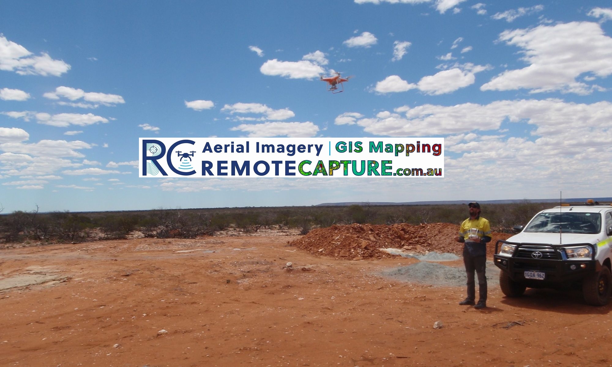
We will visit the area, capture high resolution imagery or data and quickly deliver it in a form your team can use. We can also present other GIS mapping data alongside our own in a variety of formats including maps, videos, 3D visualizations and Virtual Reality.
Need to keep track of changes over time? We can schedule repeat visits based on season, circumstances or reporting obligations. Read More…
Contact Us if this sounds like what you need!
